Port History
Find out more about the history of Lyttelton Port Company and the surrounding Whakaraupō Harbour
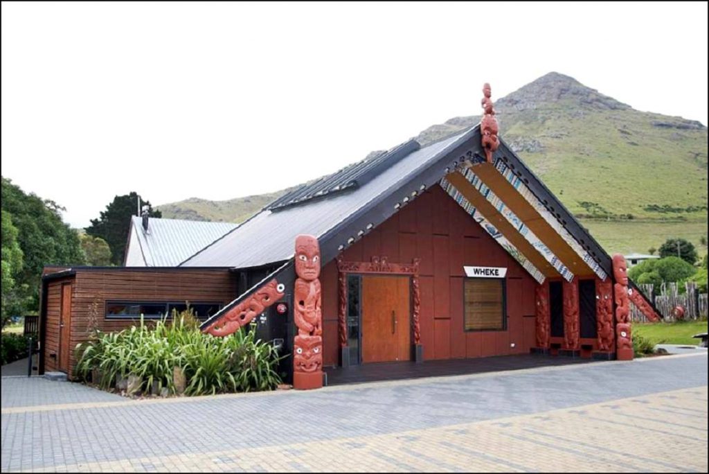
Prior to European settlement Lyttelton Harbour was known as Whakaraupō, or harbour of raupō (bulrush). The first occupants of the area were Waitaha, followed by Ngāti Mamoe in the 16th century. Ngāti Mamoe named the area surrounding Lyttelton, Ohinehou. Ngāti Mamoe was eventually displaced in the 18th century by Ngāi Tahu, who established a settlement at Rapaki. Rapaki later became a native reserve and is today the site of a marae for Te Hapū o Ngāti Wheke, who hold mana whenua mana moana status over Whakaraupō Lyttelton Harbour and its surrounding lands.
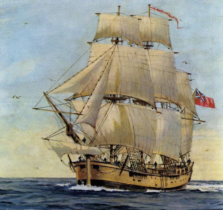
On the 16th of February 1770 Banks Island (later found to be a peninsula) is first sighted by Europeans from the Endeavour during James Cook’s first voyage to New Zealand.
It was probably not until 1815 when sailors from the sealing ship Governor Bligh landed that Europeans first set foot on Banks Peninsula. In 1827 Captain William Wiseman, a flax trader, named the harbour (now known as Lyttelton Harbour) Port Cooper, after one of the owners of the Sydney trading firm, Cooper & Levy.
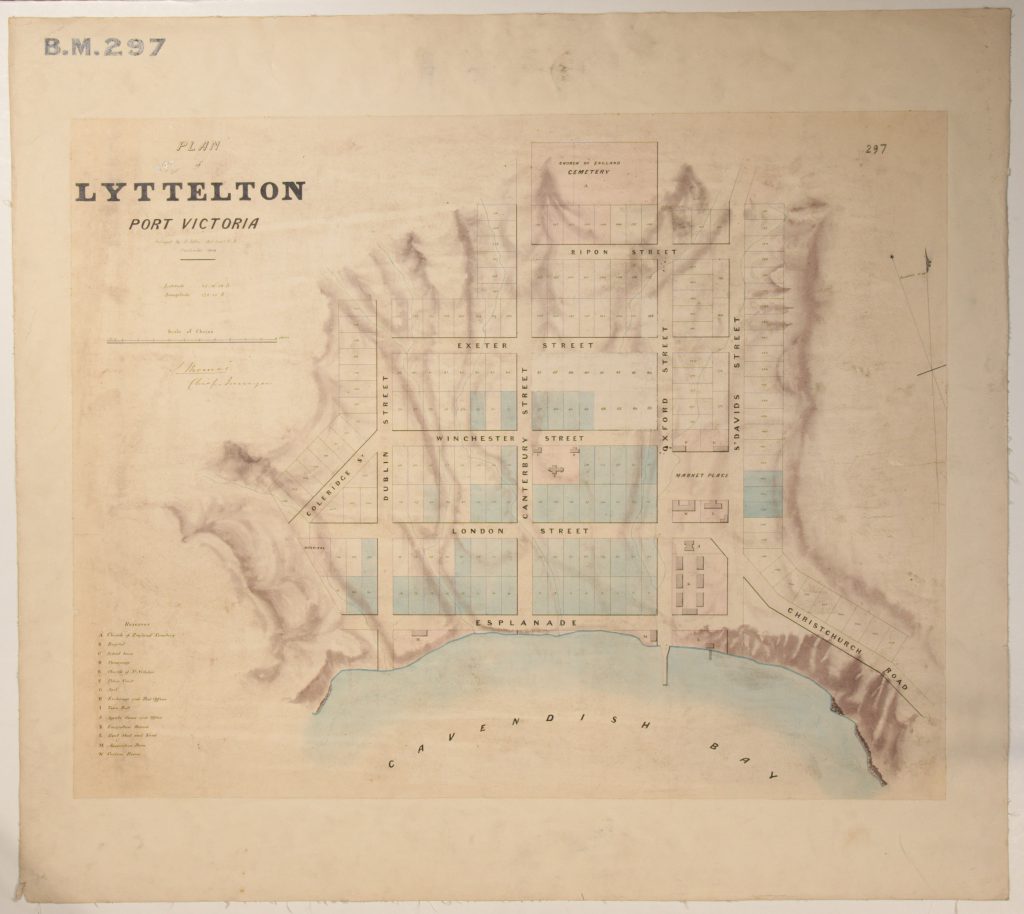
The settlement of Canterbury, named after the mother diocese of the Church of England, is planned by the Canterbury Association in Britain. The aim is to found a specifically Church of England colony, Lyttelton is chosen because of its suitability as a port and the availability of a large area of flat land on the other side of the Port Hills, later known as the Canterbury Plains.
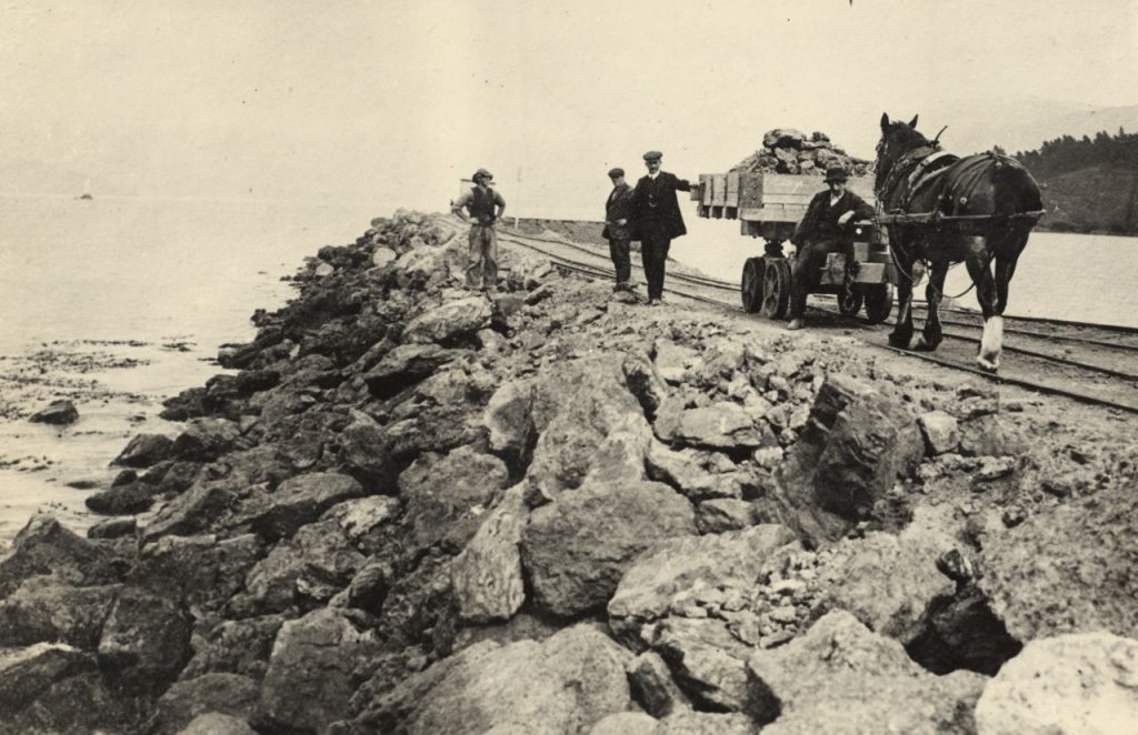
30 August, an official proclamation establishes Lyttelton as a recognised port. The first harbour engineering begins – construction of a 150ft (46m) long by 15 ft. (4.5m) wide jetty.
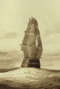
16 December, the Charlotte Jane arrives at 10am – the first of the four ships bringing the main body of immigrants to the Canterbury settlement. It is followed by the Randolph at 5.30pm, the Sir George Seymour at noon the next day, and the Cressy eleven days later. They brought the main body of immigrants, swelling Lyttelton’s population to around 1,100.
The first edition of the ‘Lyttelton Times’, which later became ‘The Press’, is printed.
Lyttelton gaol opens, accepting the worst criminals, debtors and lunatics from all over the South Island. Seven hangings took place there. Its hard labour gang built most of the roads and stone walls around Lyttelton. They also built Fort Jervois on Ripapa Island and the Quarantine Station on Quail Island.
New Zealand’s first telegraph line, between Christchurch and Lyttelton, opens.
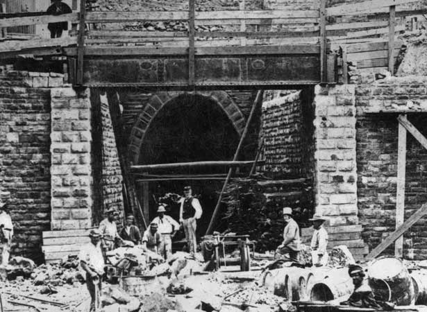
The Lyttelton Rail Tunnel is opened. It is the world’s first tunnel through volcanic rock.
The Lyttelton Harbour Board was established, responsible for the management of the harbour’s commercial and recreational facilities. The Board had 13 members elected in local body elections.
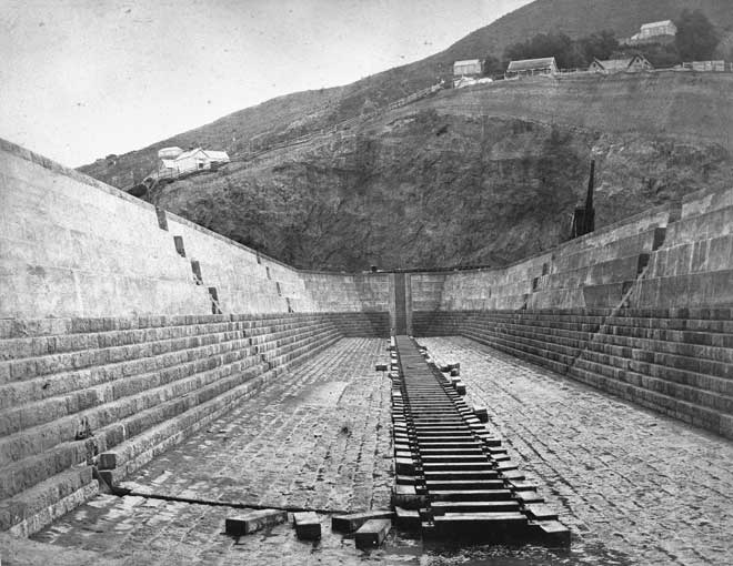
On 3 January 1883, the Lyttelton Graving Dock (also known as a dry dock) was opened with great ceremony.
A weekly passenger service between Lyttelton and Wellington begins on the steamer Penguin (749 tons).
Reclamation of Naval Point begins.
72 acres (29 hectares) of reclaimed land at Naval Point is consolidated and sites are available for business.
Reclamation at Cashin Quay begins following the recommendation by the Harbour Board’s Engineer-in-Chief, James A Cashin, that larger vessels do not require the protection of the Inner Harbour as swells were not larger than one metre.
The Lyttelton road tunnel opens in February. Architect of the tunnel control building was Peter Beaven.
Cashin Quay opens, providing more berth space for larger ships.
The Container Terminal is completed and the Lyttelton-Wellington passenger ferry ends after 80 years of service.
The new Lyttelton Harbour Board building opens on the corner of Norwich Quay and Dublin Street.
The introduction of the Port Companies Act created the Lyttelton Port Company which took over the Port’s commercial role including the land, assets and facilities. Shares in the new Port Company were allocated to regional and territorial authorities including Ashburton, Banks Peninsula, Hurunui, Selwyn and Waimakariri District Councils and the Christchurch City Council.
The Government abolishes the Waterfront Industry Commission Act under which port labour was administered. This meant that stevedores (who load and unload ships) were required to employ their own workforce and function under the Labour Relations Act in the same manner as any other employer. LPC employees increase from 298 to 426.
Lyttelton Port Company lists on the New Zealand Stock Exchange with a 19 per cent public listing following the decision by Hurunui and Selwyn District Councils to sell their shares in the Company.
Other regional and territorial authorities decide to sell their shares, effectively raising the level of public shareholding to 30 per cent. The Christchurch City Council becomes the single largest shareholder with a 65 per cent shareholding.
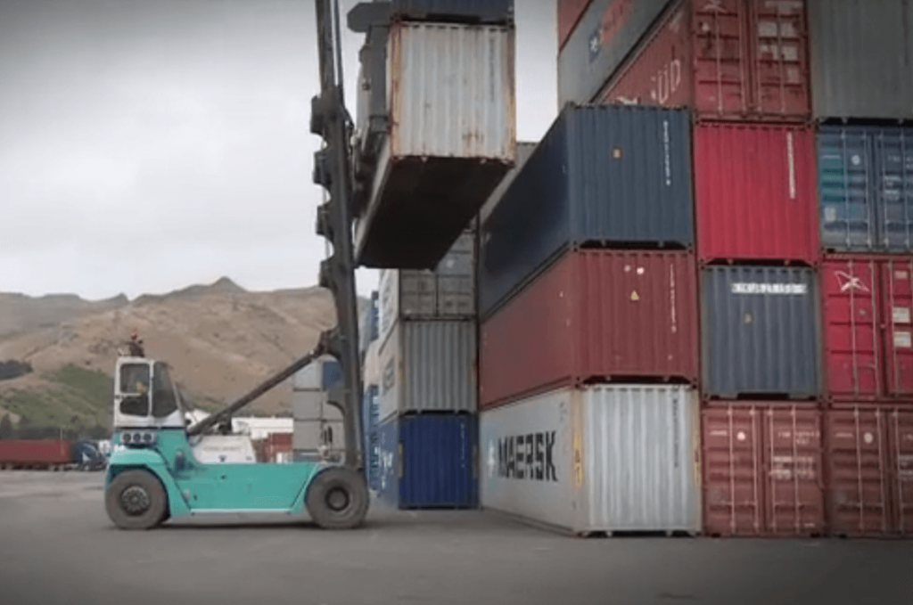
CityDepot opens. The Company bought NZ Express Transport Christchurch Limited which included their Woolston depot. CityDepot provides off-wharf support including container repairs and storage.
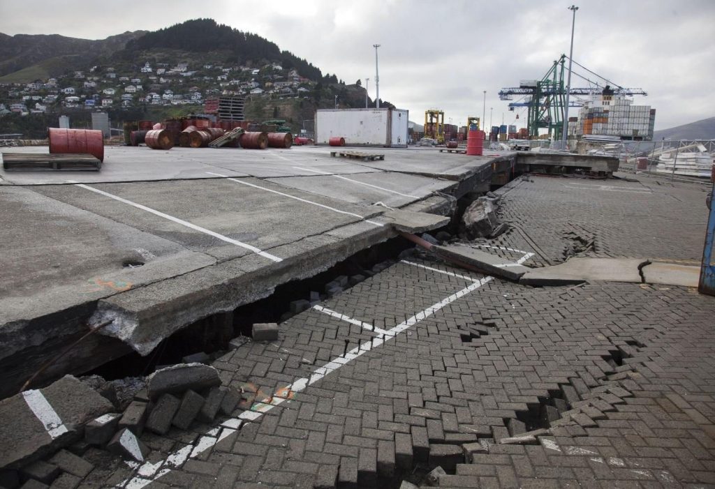
4 September. At 4:35am a 7.1 earthquake shakes the Canterbury region. The earthquakes over the 2010/11 period damaged over 75% of the Port’s wharves.
The 22 February 2011 earthquake was called the Lyttelton earthquake, as it was centred at the Port.
March – The rebuild of Cashin Quay 2 begins.
June – The Canterbury Earthquake Recovery Minister, Hon Gerry Brownlee, directs Environment Canterbury (ECan) and Lyttelton Port Company to prepare a Lyttelton Port Recovery Plan. Following this announcement, LPC released the Port Lyttelton Plan, the Company’s 30-year vision for the recovery and enhancement of the Port.
August – The Port’s fourth ship-to-shore gantry crane, a $12 million Liebherr Super Post Panamax, starts operating.
October – Christchurch City Holdings Limited (the commercial arm of the Christchurch City Council) acquires 100% of the shares and delists Lyttelton Port Company from the New Zealand Stock Exchange.
November – LPC hands over to ECan the information package from its extensive public consultation on the Port Lyttelton Plan, the Company’s 30-year vision for the recovery and enhancement of the Port.
December – LPC buys a 27-hectare site at Rolleston to be the Company’s second Inland Port. The facility, named MidlandPort, will provide a rail link with the Port in 2016.
April – Environment Canterbury releases its preliminary draft Lyttelton Port Recovery Plan for public consultation and receives 277 submissions by the close of submissions on May 11.
June – An Independent Public Hearing is held, with recommendations from the Panel being presented to the Minister for Canterbury Earthquake Recovery.
August – The Minister for Canterbury Earthquake Recovery receives the Draft Lyttelton Port Recovery Plan.
Demolition begins on the former LPC administration building on the corner of Norwich Quay and Dublin Street.
Construction of MidlandPort begins.
November – The Minister for Canterbury Earthquake Recovery, Hon. Gerry Brownlee, announces the Lyttelton Port Recovery Plan.
Construction on Cashin Quay 2 wharf is finished.
December – The reclamation at Te Awaparahi Bay reaches nine hectares of the consented ten hectares.
January – LPC’s new Pilot Launch, Awaroa, arrives at Lyttelton Port
February – The new Cashin Quay 2 wharf is officially opened by Deputy Prime Minister Rt Hon Bill English.
June – LPC’s second Inland Port – MidlandPort – becomes operational on 1 June 2016.
Waterfront House, LPC’s new Head Office, opened, bringing the Operations and Administration teams under one roof for the first time.
Construction of new cruise ship berth announced.
Resource consents granted to extend the reclamation and deepen the Harbour’s shipping channel so larger vessels can access the Port.
New crane arrived.
Te Ana Marina completed.
New cruise berth construction underway.
One of the world’s largest dredges, the Fairway, arrived to extend and deepen the Lyttelton Harbour shipping channel.
Uncovered Artefacts
Have a browse through some of the interesting artefacts that have been discovered at Lyttelton Port during our Port recovery projects